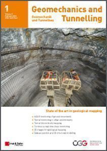
Geomechanics and Tunnelling 01/16
Manuscripts in the current issue deal with several remote measurement technologies and illustrate their broad spectrum of application in geomechanics. These include satellite-based InSAR surveys to assess ground deformations at two tunnel construction sites in Italy, and geomechanical mapping of tunnels using 3D LiDAR combined with thermography.

Cover Story: After about four years of construction, the Gemeinschaftskraftwerk Inn (GKI) on the upper River Inn should start generation in 2018 and produce more than 400 GWh of electricity from hydropower. With the exception of the headrace tunnel, adits, access tunnel and launching cuts are being excavated by drill and blast. For these conventional tunnel drives, DSI Österreich supplied the complete palette of support materials.
(Photo: DSI Österreich)
Table of Contents:
- InSAR monitoring of ground movements
- Tunnel monitoring in urban environments
- Tunnel discontinuity mapping
- Continuous real-time slope monitoring
- 3D images for geological mapping
- Data acquisition and 3D structural modelling
Order a free sample copy of Geomechanics and Tunnelling.


